
1967 Map of Mahoney Butte
USGS Topo · Published 1971About this map
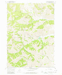
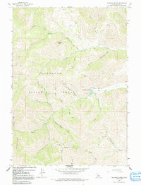
Sawtooth National Forest dominates this Idaho landscape, where high-elevation gulches and creeks define the topography south of Ketchum. The area reveals a significant history of resource extraction, evidenced by the Democrat Mine and Red Cloud Mine, along with several unnamed mine workings scattered across the drainages of Democrat Gulch and Panther Gulch. Natural thermal features are a notable presence, specifically Clarendon Hot Springs and a Hot Spring located near Deer Creek.
Find a feature on this map
38 named features on this map. Tap any name to fly to it.
Don’t see what you’re looking for? This feature index may not catch every label — zoom into the map to look around manually.
Map Details
Editions of this 1967 Mahoney Butte Map
3 editions found
Other maps of this area

1895 · Hailey
USGS Topo · 1:125,000

1897 · Hailey
USGS Topo · 1:125,000

1900 · Sawtooth
USGS Topo · 1:125,000

1955 · Hailey
USGS Topo · 1:250,000

1957 · Bellevue
USGS Topo · 1:62,500

1957 · Blaine
USGS Topo · 1:62,500

1957 · Bellevue
USGS Topo · 1:24,000

1959 · Hailey
USGS Topo · 1:250,000

1962 · Hailey
USGS Topo · 1:250,000

1967 · Sun Valley
USGS Topo · 1:24,000