
1957 Map of Blaine
USGS Topo · Published 1959About this map
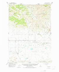
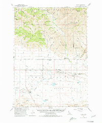
The Soldier Mountains and Sawtooth National Forest dominate the northern landscape of this mid-century survey, yielding to the broad, agricultural expanse of the Camas Prairie. The spatial organization of the region is defined by the Union Pacific rail line, which tracks through the central valley connecting small settlements such as Blaine and Macon. This era shows a distributed rural community supported by local infrastructure, including the Springdale School, Manard Sch, and Elk Creek School.
Find a feature on this map
67 named features on this map. Tap any name to fly to it.
Don’t see what you’re looking for? This feature index may not catch every label — zoom into the map to look around manually.
Map Details
Editions of this 1957 Blaine Map
3 editions found
Other maps of this area

1895 · Hailey
USGS Topo · 1:125,000

1897 · Hailey
USGS Topo · 1:125,000

1900 · Sawtooth
USGS Topo · 1:125,000

1955 · Hailey
USGS Topo · 1:250,000

1957 · Fairfield
USGS Topo · 1:62,500

1957 · Thorn Creek
USGS Topo · 1:62,500

1957 · Davis Mountain
USGS Topo · 1:62,500

1957 · Bellevue
USGS Topo · 1:62,500

1959 · Hailey
USGS Topo · 1:250,000

1962 · Hailey
USGS Topo · 1:250,000