
1967 Map of Sun Valley
USGS Topo · Published 1971About this map
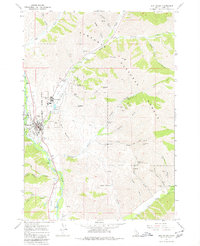
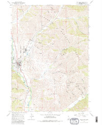
Sun Valley and Ketchum occupy the center of this mountain landscape during a period of transition, where world-class recreation and historical industrial extraction meet. The expanding resort infrastructure is visible in the network of ski lifts, a Landing Strip, and the Golf Course winding through the valley, while the Union Pacific railroad corridor traces the Big Wood River through the heart of town.
Find a feature on this map
56 named features on this map. Tap any name to fly to it.
Don’t see what you’re looking for? This feature index may not catch every label — zoom into the map to look around manually.
Map Details
Editions of this 1967 Sun Valley Map
Other maps of this area

1895 · Hailey
USGS Topo · 1:125,000

1897 · Hailey
USGS Topo · 1:125,000

1955 · Hailey
USGS Topo · 1:250,000

1959 · Hailey
USGS Topo · 1:250,000

1962 · Hailey
USGS Topo · 1:250,000

1967 · Rock Roll Canyon
USGS Topo · 1:24,000

1967 · Baugh Creek SW
USGS Topo · 1:24,000

1967 · Mahoney Butte
USGS Topo · 1:24,000

1967 · Hailey
USGS Topo · 1:24,000
1967 · Hyndman Peak
USGS Topo · 1:24,000