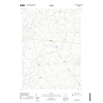
2019 Map of Boylston Center
USGS Topo · Published 2019About this map
Boylston Center and East Boylston serve as the primary crossroads in this rural landscape straddling the line between Jefferson and Oswego counties. The area is defined by a dense network of watercourses, including the westward-flowing Little Sandy Creek and the meandering Trout Brook, which create a complex system of drainage across the Tug Hill region. Small settlements like Smartville, Winona, and Plantz Corners are connected by a grid of county routes and local roads such as French Settlement Road and Tucker Truck Road.
Find a feature on this map
55 named features on this map. Tap any name to fly to it.
Don’t see what you’re looking for? This feature index may not catch every label — zoom into the map to look around manually.
Map Details
Editions of this 2019 Boylston Center Map
This is the sole edition of this map. No revisions or reprints were ever made.
Other maps of this area

1893 · Sackets Harbor
USGS Topo · 1:62,500

1895 · Sacketts Harbor
USGS Topo · 1:62,500

1895 · Pulaski
USGS Topo · 1:62,500

1895 · Watertown
USGS Topo · 1:62,500

1898 · Watertown
USGS Topo · 1:62,500

1903 · Orwell
USGS Topo · 1:62,500

1905 · Orwell
USGS Topo · 1:62,500

1908 · Watertown
USGS Topo · 1:62,500

1909 · Watertown
USGS Topo · 1:62,500

1942 · Sandy Creek
USGS Topo · 1:24,000