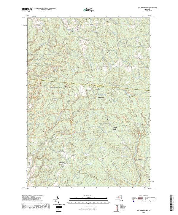
2023 Map of Boylston Center
USGS Topo · Published 2023About this map
Boylston Center and the surrounding hamlets of northern Oswego County are defined by a network of creeks and timbered uplands along the Jefferson County line. This survey of the Tug Hill region reveals a landscape of dispersed settlements like Smartville and Winona, where the terrain is crossed by numerous trails including the Musher Ridge Trl and Ccc Loop Trl. The area’s genealogical history is anchored by several small burial grounds, including Phelps Cem and Saint Josephs Cem.
Find a feature on this map
75 named features on this map. Tap any name to fly to it.
Don’t see what you’re looking for? This feature index may not catch every label — zoom into the map to look around manually.
Map Details
Editions of this 2023 Boylston Center Map
This is the sole edition of this map. No revisions or reprints were ever made.
Other maps of this area

1893 · Sackets Harbor
USGS Topo · 1:62,500

1895 · Sacketts Harbor
USGS Topo · 1:62,500

1895 · Pulaski
USGS Topo · 1:62,500

1895 · Watertown
USGS Topo · 1:62,500

1898 · Watertown
USGS Topo · 1:62,500

1903 · Orwell
USGS Topo · 1:62,500

1905 · Orwell
USGS Topo · 1:62,500

1908 · Watertown
USGS Topo · 1:62,500

1909 · Watertown
USGS Topo · 1:62,500

1942 · Sandy Creek
USGS Topo · 1:24,000