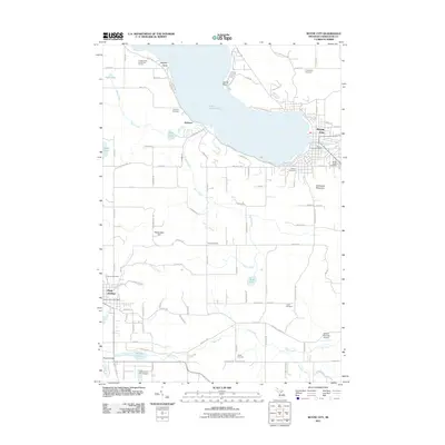
2011 Map of Boyne City
USGS Topo · Published 2011About this map
Boyne City and East Jordan anchor this detailed survey of the southern reaches of Lake Charlevoix. The landscape is defined by the significant hydrological network feeding into the lake, including the winding course of Porter Creek and Deer Creek, alongside the Jordan River at the map's southern edge. For genealogists and local historians, the sheet provides precise locations for numerous community burial grounds, such as Maple Lawn Cemetery, Evangeline Cemetery, and the centrally located Knob Cemetery. High points like Avalanche Mountain and Richardson Hill offer vertical contrast to the sprawling waterfront settlements. The map also records essential mid-century infrastructure, ranging from the Boyne City Post Office to the Wilson Township Airport, capturing the layout of rural roads and residential blocks that connect these Michigan communities.
Find a feature on this map
111 named features on this map. Tap any name to fly to it.
Don’t see what you’re looking for? This feature index may not catch every label — zoom into the map to look around manually.
Map Details
Editions of this 2011 Boyne City Map
This is the sole edition of this map. No revisions or reprints were ever made.
Other maps of this area

1955 · Cheboygan
USGS Topo · 1:250,000

1958 · Cheboygan
USGS Topo · 1:250,000

1958 · Bayshore
USGS Topo · 1:62,500

1958 · Petoskey
USGS Topo · 1:62,500

1961 · Boyne Falls
USGS Topo · 1:62,500

1961 · Boyne City
USGS Topo · 1:62,500

1975 · Boyne City NW
USGS Topo · 1:24,000

1975 · Petoskey SW
USGS Topo · 1:24,000

1975 · Boyne City NE
USGS Topo · 1:24,000

1982 · Petoskey
USGS Topo · 1:100,000