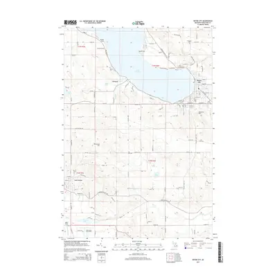
2014 Map of Boyne City
USGS Topo · Published 2014About this map
Lake Charlevoix dominates the northern half of this landscape, its shoreline defining the development of Boyne City at the eastern end and the small settlement of Advance to the west. This 2014 survey reveals the organized grid of Boyne City where the Boyne River flows into the lake, contrasted with the more irregular road networks of the surrounding hills. To the south, the city of East Jordan sits at the junction of Brown Cr and the Jordan River, serving as a second major hub. The area is marked by numerous family and community cemeteries, including Maple Lawn Cem and Evangeline Cem, which offer significant touchpoints for local genealogy. Industrial and recreational markers such as the East Jordan City Airport and the high ground of Avalanche Mtn suggest a landscape balancing its historical town centers with modern infrastructure and land use.
Find a feature on this map
117 named features on this map. Tap any name to fly to it.
Don’t see what you’re looking for? This feature index may not catch every label — zoom into the map to look around manually.
Map Details
Editions of this 2014 Boyne City Map
This is the sole edition of this map. No revisions or reprints were ever made.
Other maps of this area

1955 · Cheboygan
USGS Topo · 1:250,000

1958 · Cheboygan
USGS Topo · 1:250,000

1958 · Bayshore
USGS Topo · 1:62,500

1958 · Petoskey
USGS Topo · 1:62,500

1961 · Boyne Falls
USGS Topo · 1:62,500

1961 · Boyne City
USGS Topo · 1:62,500

1975 · Boyne City NW
USGS Topo · 1:24,000

1975 · Petoskey SW
USGS Topo · 1:24,000

1975 · Boyne City NE
USGS Topo · 1:24,000

1982 · Petoskey
USGS Topo · 1:100,000