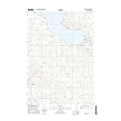
2017 Map of Boyne City
USGS Topo · Published 2017About this map
Lake Charlevoix anchors this topographical study, where the waters of the Boyne River and Jordan River meet the shoreline. The settlement of Boyne City occupies the northeastern edge of the water, while East Jordan is positioned at the southern terminus of the lake's arm. This map reflects a landscape of significant elevation changes, from the heights of Avalanche Mtn overlooking the city to Richardson Hill further south.
Find a feature on this map
124 named features on this map. Tap any name to fly to it.
Don’t see what you’re looking for? This feature index may not catch every label — zoom into the map to look around manually.
Map Details
Editions of this 2017 Boyne City Map
This is the sole edition of this map. No revisions or reprints were ever made.
Other maps of this area

1955 · Cheboygan
USGS Topo · 1:250,000

1958 · Cheboygan
USGS Topo · 1:250,000

1958 · Bayshore
USGS Topo · 1:62,500

1958 · Petoskey
USGS Topo · 1:62,500

1961 · Boyne Falls
USGS Topo · 1:62,500

1961 · Boyne City
USGS Topo · 1:62,500

1975 · Boyne City NW
USGS Topo · 1:24,000

1975 · Petoskey SW
USGS Topo · 1:24,000

1975 · Boyne City NE
USGS Topo · 1:24,000

1982 · Petoskey
USGS Topo · 1:100,000