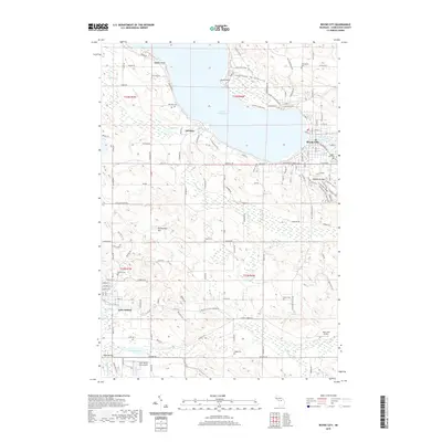
2019 Map of Boyne City
USGS Topo · Published 2019About this map
Lake Charlevoix anchors this topographical survey, which traces the shoreline and surrounding highlands of Charlevoix County. The city of Boyne City sits at the eastern end of the lake, where the Boyne River flows in, while East Jordan occupies the southern reach at the mouth of the Jordan River. The landscape between these centers is dotted with legacy family sites and rural landmarks, including numerous burial grounds such as Advance Cem and Lewis Cem.
Find a feature on this map
75 named features on this map. Tap any name to fly to it.
Don’t see what you’re looking for? This feature index may not catch every label — zoom into the map to look around manually.
Map Details
Editions of this 2019 Boyne City Map
This is the sole edition of this map. No revisions or reprints were ever made.
Other maps of this area

1955 · Cheboygan
USGS Topo · 1:250,000

1958 · Cheboygan
USGS Topo · 1:250,000

1958 · Bayshore
USGS Topo · 1:62,500

1958 · Petoskey
USGS Topo · 1:62,500

1961 · Boyne Falls
USGS Topo · 1:62,500

1961 · Boyne City
USGS Topo · 1:62,500

1975 · Boyne City NW
USGS Topo · 1:24,000

1975 · Petoskey SW
USGS Topo · 1:24,000

1975 · Boyne City NE
USGS Topo · 1:24,000

1982 · Petoskey
USGS Topo · 1:100,000