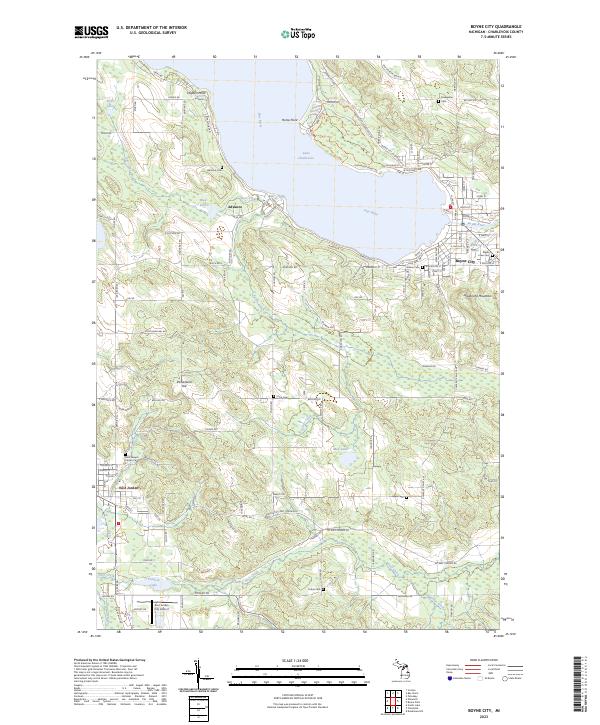
2023 Map of Boyne City
USGS Topo · Published 2023About this map
Boyne City and East Jordan anchor the opposite ends of this northern Michigan landscape, where the waters of Lake Charlevoix and the Jordan River meet. The terrain is defined by dramatic elevations such as Avalanche Mountain and Richardson Hill, while the shoreline of the lake is marked by Horse Point and Hayden Point. Small communities like Advance preserve local history through sites such as the Advance Cem, while Young State Park occupies the northern shoreline. The map documents a blend of established townships, including t33n r7w and t32n r6w, and modern infrastructure like the East Jordan City Airport. Numerous small cemeteries, such as Maple Lawn Cem and Lewis Cem, provide essential data for genealogical research across the Charlevoix County countryside.
Find a feature on this map
180 named features on this map. Tap any name to fly to it.
Don’t see what you’re looking for? This feature index may not catch every label — zoom into the map to look around manually.
Map Details
Editions of this 2023 Boyne City Map
This is the sole edition of this map. No revisions or reprints were ever made.
Other maps of this area

1955 · Cheboygan
USGS Topo · 1:250,000

1958 · Cheboygan
USGS Topo · 1:250,000

1958 · Bayshore
USGS Topo · 1:62,500

1958 · Petoskey
USGS Topo · 1:62,500

1961 · Boyne Falls
USGS Topo · 1:62,500

1961 · Boyne City
USGS Topo · 1:62,500

1975 · Boyne City NW
USGS Topo · 1:24,000

1975 · Petoskey SW
USGS Topo · 1:24,000

1975 · Boyne City NE
USGS Topo · 1:24,000

1982 · Petoskey
USGS Topo · 1:100,000