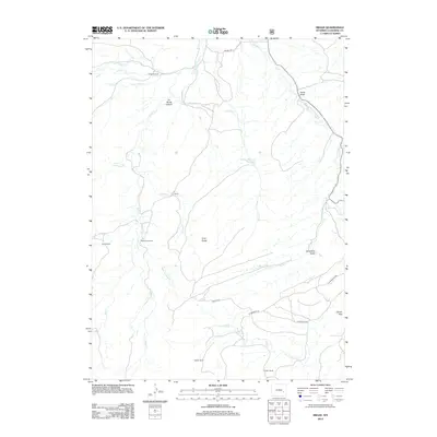
2012 Map of Braae
USGS Topo · Published 2012About this map
La Bonte Cr and its many tributaries, including Ghost Cr and Indian Cr, carve through this Converse County landscape, defining a region where water and high-altitude ranching are central to the local geography. The map captures the small community of Braae and several established agricultural properties such as the Rutherford Ranch, Dunn Ranch, and La Bonte Ranch. These named ranches reflect a history of land management in an area where varied terrain features like Gray Rocks and La Bonte Canyon dictate the routes of local roads like Braae Rd and Esterbrook Rd.
Find a feature on this map
28 named features on this map. Tap any name to fly to it.
Don’t see what you’re looking for? This feature index may not catch every label — zoom into the map to look around manually.
Map Details
Editions of this 2012 Braae Map
This is the sole edition of this map. No revisions or reprints were ever made.
Other maps of this area
1943 · Esterbrook
USGS Topo · 1:62,500
1945 · Esterbrook
USGS Topo · 1:62,500
1949 · Poison Lake
USGS Topo · 1:24,000
1949 · Dilts Ranch
USGS Topo · 1:24,000
1950 · Poison Lake
USGS Topo · 1:24,000
1950 · Dilts Ranch
USGS Topo · 1:24,000
1954 · Torrington
USGS Topo · 1:250,000
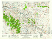
1958 · Torrington
USGS Topo · 1:250,000
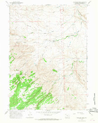
1964 · Maneater Creek
USGS Topo · 1:24,000
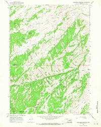
1964 · Saddleback Mountain
USGS Topo · 1:24,000