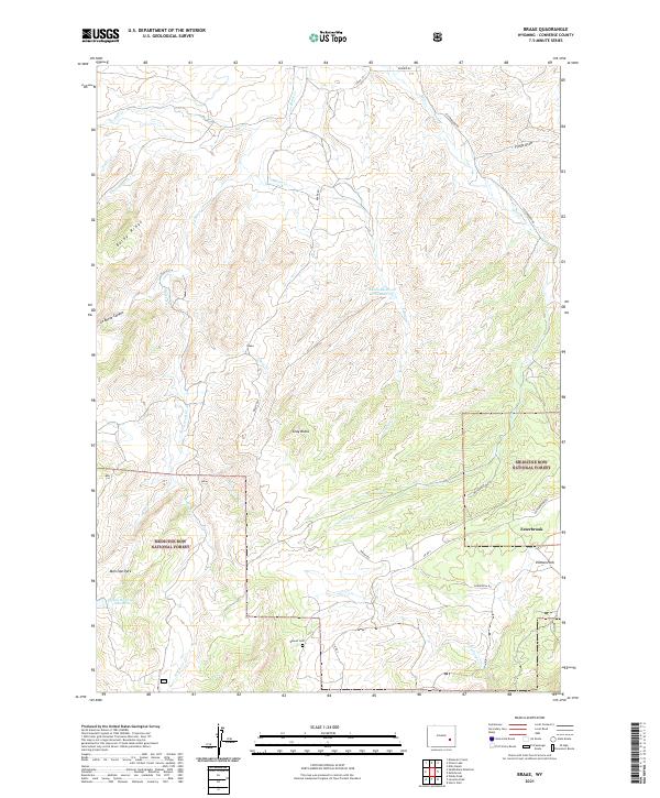
2021 Map of Braae
USGS Topo · Published 2021About this map
Medicine Bow National Forest dominates the southern landscape of this Converse County region, where the Laramie Mountains transition into a network of creek drainages and high-altitude parks. The small settlement of Esterbrook sits near the eastern edge, serving as a gateway to the surrounding wilderness and landmarks like Ullman Park and Morrison Park. To the north, the terrain is defined by dramatic geological features such as Baldy Ridge, Gray Rocks, and the deep cut of La Bonte Canyon.
Find a feature on this map
36 named features on this map. Tap any name to fly to it.
Don’t see what you’re looking for? This feature index may not catch every label — zoom into the map to look around manually.
Map Details
Editions of this 2021 Braae Map
This is the sole edition of this map. No revisions or reprints were ever made.
Other maps of this area

1943 · Esterbrook
USGS Topo · 1:62,500

1945 · Esterbrook
USGS Topo · 1:62,500

1949 · Poison Lake
USGS Topo · 1:24,000

1949 · Dilts Ranch
USGS Topo · 1:24,000

1950 · Poison Lake
USGS Topo · 1:24,000
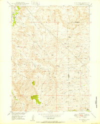
1950 · Dilts Ranch
USGS Topo · 1:24,000

1954 · Torrington
USGS Topo · 1:250,000

1958 · Torrington
USGS Topo · 1:250,000
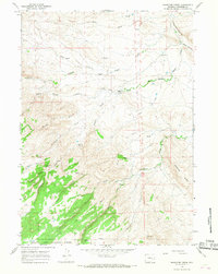
1964 · Maneater Creek
USGS Topo · 1:24,000

1964 · Saddleback Mountain
USGS Topo · 1:24,000