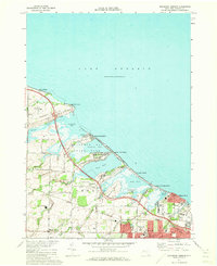
1971 Map of Braddock Heights
USGS Topo · Published 1973About this map
Lake Ontario dominates the northern horizon of this coastal Monroe County study, where a sequence of marshy ponds and barrier beaches define the shoreline. The 1971 landscape shows a transition between the established lakeside communities of Grand View Heights, Crescent Beach, and Braddock Heights and the expanding suburban infrastructure further inland. The Ontario State Parkway cuts a diagonal path through the terrain, bypassing natural features like Braddock Bay and Long Pond.
Find a feature on this map
54 named features on this map. Tap any name to fly to it.
Don’t see what you’re looking for? This feature index may not catch every label — zoom into the map to look around manually.
Map Details
Editions of this 1971 Braddock Heights Map
2 editions found
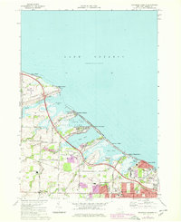
Other maps of this area

1895 · Rochester
USGS Topo · 1:62,500

1895 · Ontario Beach
USGS Topo · 1:62,500

1898 · Rochester
USGS Topo · 1:62,500

1899 · Hamlin
USGS Topo · 1:62,500

1899 · Ontario Beach
USGS Topo · 1:62,500

1899 · Brockport
USGS Topo · 1:62,500

1912 · Rochester
USGS Topo · 1:62,500

1912 · Ontario Beach
USGS Topo · 1:62,500

1920 · Rochester
USGS Topo · 1:62,500

1931 · Rochester West
USGS Topo · 1:24,000