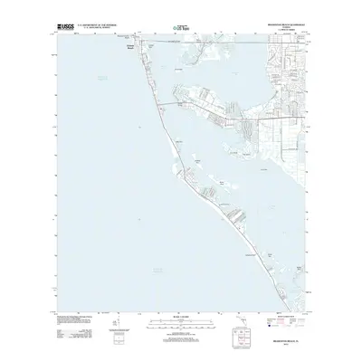
2012 Map of Bradenton Beach
USGS Topo · Published 2012About this map
Holmes Beach and the thin barrier islands along the Gulf of Mexico anchor this detailed coastal study, where the mainland of Manatee County meets the intricate waterways of Anna Maria Sound and Palma Sola Bay. The landscape is defined by the transition between land and water, connected by the Anna Maria Bridge and Cortez Bridge. These crossings link the more developed residential grids near Perico Island and the mainland with the narrow, beach-facing stretches of the keys.
Find a feature on this map
90 named features on this map. Tap any name to fly to it.
Don’t see what you’re looking for? This feature index may not catch every label — zoom into the map to look around manually.
Map Details
Editions of this 2012 Bradenton Beach Map
This is the sole edition of this map. No revisions or reprints were ever made.
Other maps of this area

1921 · Fort De Soto
USGS Topo · 1:62,500

1944 · Egmont Key
USGS Topo · 1:31,680

1944 · Sarasota
USGS Topo · 1:31,680

1944 · Anna Maria
USGS Topo · 1:31,680

1944 · Ellenton
USGS Topo · 1:31,680

1944 · Bradenton Beach
USGS Topo · 1:31,680

1947 · Bradenton
USGS Topo · 1:24,000

1956 · Tampa
USGS Topo · 1:250,000

1959 · Tampa
USGS Topo · 1:250,000

1960 · Tampa
USGS Topo · 1:250,000
Featured Places
- Bradenton, FL
- Longboat Key, FL
- Holmes Beach, FL
- Bradenton Beach, Brandenton Beach
- Longbeach, Longboat Key