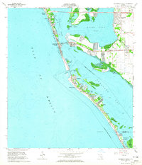
1964 Map of Bradenton Beach
USGS Topo · Published 1965About this map
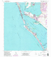
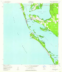
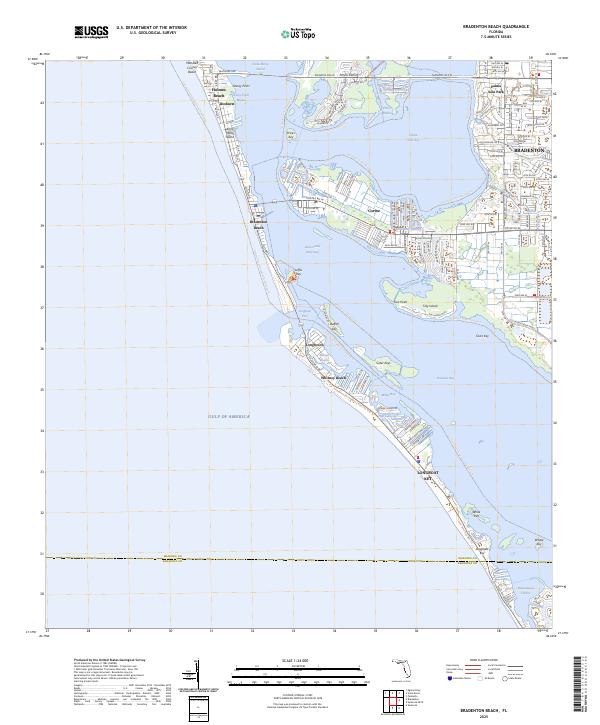
Anna Maria Key and Longboat Key define this coastal landscape, separated by the waters of Longboat Pass as they connect the Gulf of Mexico to Sarasota Pass. In the mid-1960s, the development of these barrier islands is evident through the clustered residential streets of Bradenton Beach, Holmes Beach, and Ilexhurst. The Cortez Bridge provides a vital link to the fishing village of Cortez on the mainland, while the interior of the islands is marked by local landmarks like St Bernards Ch and the Island Chapel. Further south, the map details the early footprints of Whitney Beach and Longbeach, where intricate finger canals and basins like Bishops Bayou and Harris Bayou have been carved into the shoreline to create waterfront access. On the mainland, the State Agriculture Experimental Station stands near Palma Sola Park, highlighting the region's agricultural roots amidst the expanding coastal settlements.
Find a feature on this map
37 named features on this map. Tap any name to fly to it.
Don’t see what you’re looking for? This feature index may not catch every label — zoom into the map to look around manually.
Map Details
Editions of this 1964 Bradenton Beach Map
5 editions found
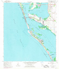
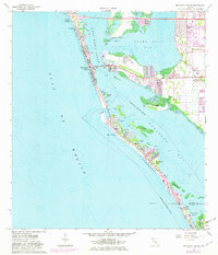
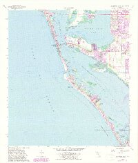
Historical Maps of Bradenton Through Time
3 maps found
Featured Locations
- Longboat Key, FL
- Longbeach, Longboat Key
- Holmes Beach, FL
- Bradenton, FL
- Bradenton Beach, Brandenton Beach