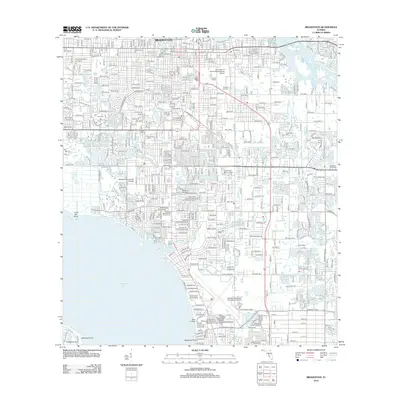
2012 Map of Bradenton
USGS Topo · Published 2012About this map
Bradenton serves as the central hub of this coastal survey, where the urban grid meets the waters of Sarasota Bay and the winding Braden River. The landscape is a dense network of residential streets and arterial roads like Tallevast Rd and University Pkwy, reflecting the mid-century and modern growth of Manatee County. This era is characterized by significant institutional development, shown through the presence of several higher education sites including Manatee Community College, New College, and the University of Florida Experimental Station.
Find a feature on this map
94 named features on this map. Tap any name to fly to it.
Don’t see what you’re looking for? This feature index may not catch every label — zoom into the map to look around manually.
Map Details
Editions of this 2012 Bradenton Map
This is the sole edition of this map. No revisions or reprints were ever made.
Other maps of this area

1921 · Fort De Soto
USGS Topo · 1:62,500

1944 · Sarasota
USGS Topo · 1:31,680

1944 · Anna Maria
USGS Topo · 1:31,680

1944 · Lorraine
USGS Topo · 1:31,680

1944 · Ellenton
USGS Topo · 1:31,680

1944 · Parish
USGS Topo · 1:31,680

1944 · Bradenton Beach
USGS Topo · 1:31,680

1947 · Bradenton
USGS Topo · 1:24,000

1947 · Bee Ridge
USGS Topo · 1:24,000

1956 · Tampa
USGS Topo · 1:250,000