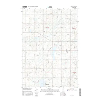
2016 Map of Bradford
USGS Topo · Published 2016About this map
Lake Francis and its surrounding residential developments, West Lake Francis Shores and East Lake Francis Shores, anchor the southern portion of this Isanti County landscape. The area is defined by a dense network of glacial lakes and wetlands, with the Rum River winding through the northern and eastern sections of the quadrangle. Small settlements like Bradford and Walbo serve as local focal points, connected by a grid of rural routes such as Co Rd 1 and Co Rd 32. In the east, the Cambridge Municipal Airport signifies the modern infrastructure supporting this region. Local heritage is preserved at sites like Saint Johns Cem and Kienitz Cem, which provide specific points of interest for genealogists tracing family roots in this lake-strewn terrain. The topography reveals a complex drainage pattern where Isanti Brook and various unnamed marshes interact with larger water bodies like Elizabeth Lake and Williams Lake.
Find a feature on this map
60 named features on this map. Tap any name to fly to it.
Don’t see what you’re looking for? This feature index may not catch every label — zoom into the map to look around manually.
Map Details
Editions of this 2016 Bradford Map
This is the sole edition of this map. No revisions or reprints were ever made.
Other maps of this area

1916 · St. Francis
USGS Topo · 1:62,500

1919 · St. Francis
USGS Topo · 1:62,500

1953 · Stillwater
USGS Topo · 1:250,000

1955 · Isanti
USGS Topo · 1:62,500

1955 · Stillwater
USGS Topo · 1:250,000

1958 · Stillwater
USGS Topo · 1:250,000

1961 · Bradford
USGS Topo · 1:24,000

1961 · Cambridge
USGS Topo · 1:62,500

1961 · Springvale
USGS Topo · 1:24,000

1961 · Dalbo
USGS Topo · 1:24,000