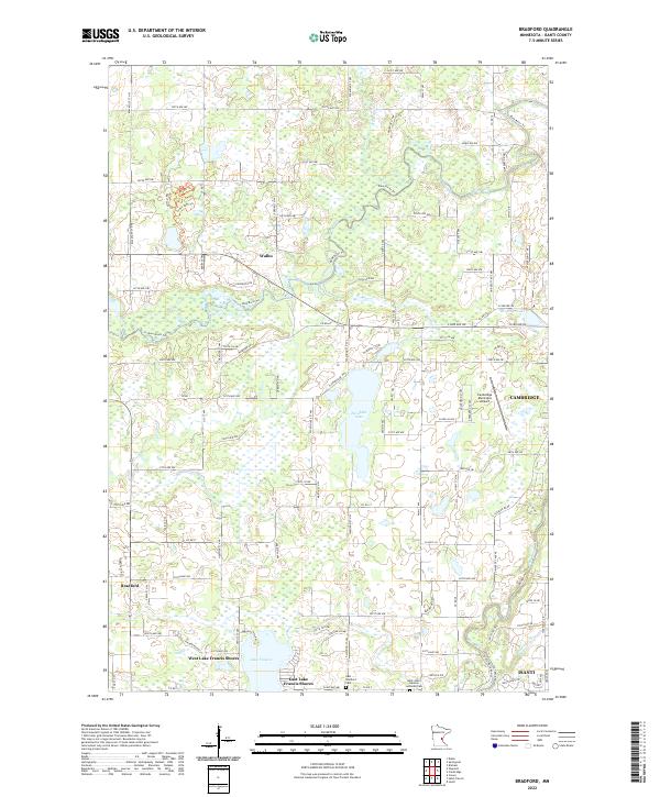
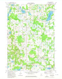
2022 Map of Bradford
USGS Topo · Published 2022This historical map portrays the area of Bradford in 2022, primarily covering Isanti. Featuring a scale of 1:24000, this map provides a highly detailed snapshot of the terrain, roads, buildings, counties, and historical landmarks in the Bradford region at the time. Published in 2022, it is the sole known edition of this map.
Find a feature on this map
66 named features on this map. Tap any name to fly to it.
Don’t see what you’re looking for? This feature index may not catch every label — zoom into the map to look around manually.
Map Details
Editions of this 2022 Bradford Map
This is the sole edition of this map. No revisions or reprints were ever made.
Historical Maps of Bradford Through Time
15 maps found
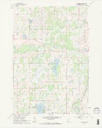
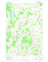
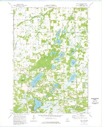
1961 Bradford
Isanti County, MN
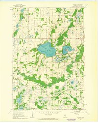
1961 Dalbo
Isanti County, MN
1961 Dalbo
Isanti County, MN
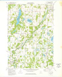
1961 Springvale
Isanti County, MN
1961 Wyanett
Isanti County, MN
1974 Crown
Isanti County, MN
1974 St Francis
Isanti County, MN
1974 Typo Lake
Isanti County, MN
2022 Bradford
Isanti County, MN
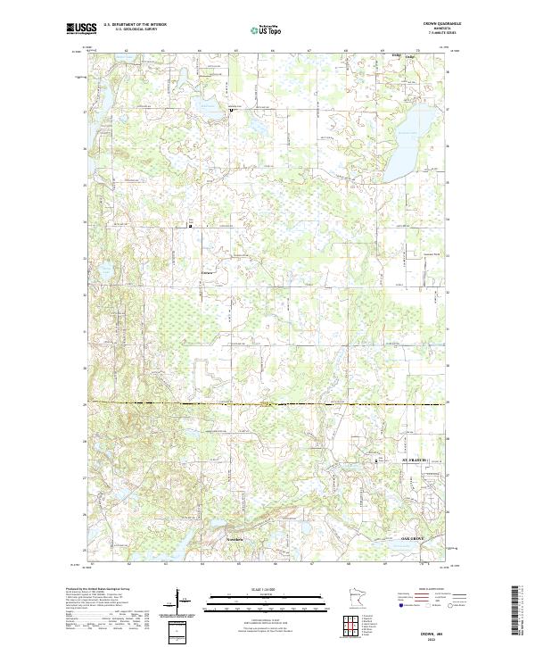
2022 Crown
Isanti County, MN
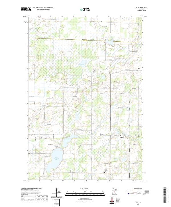
2022 Dalbo
Isanti County, MN
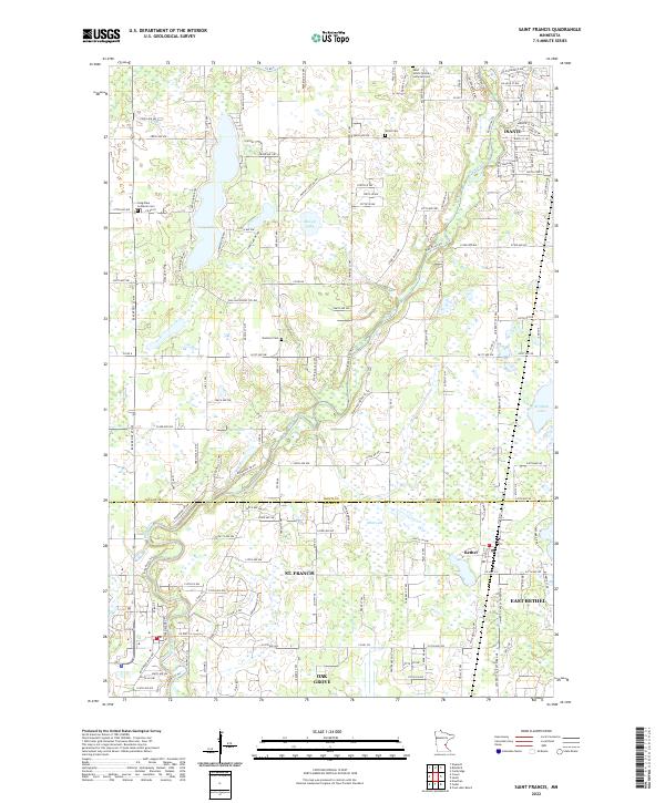
2022 Saint Francis
Isanti County, MN
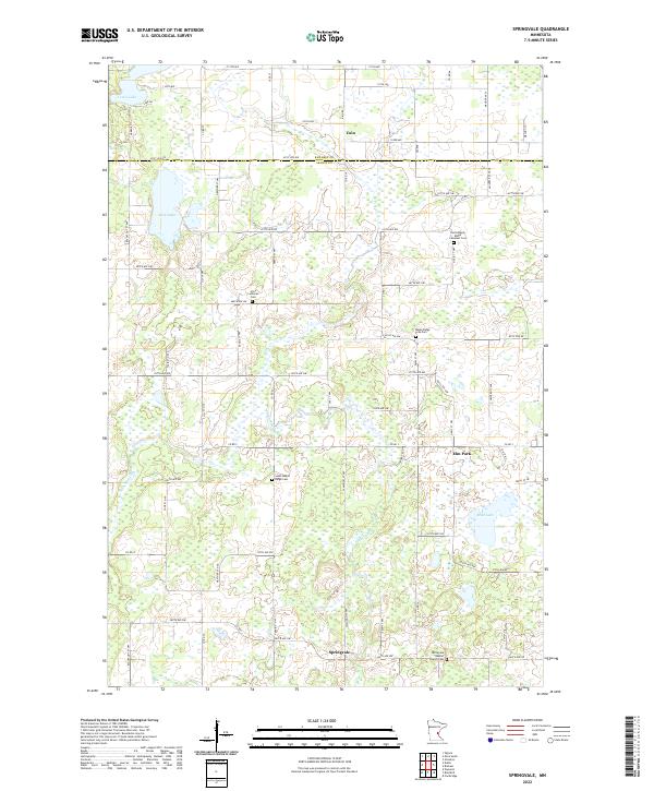
2022 Springvale
Isanti County, MN
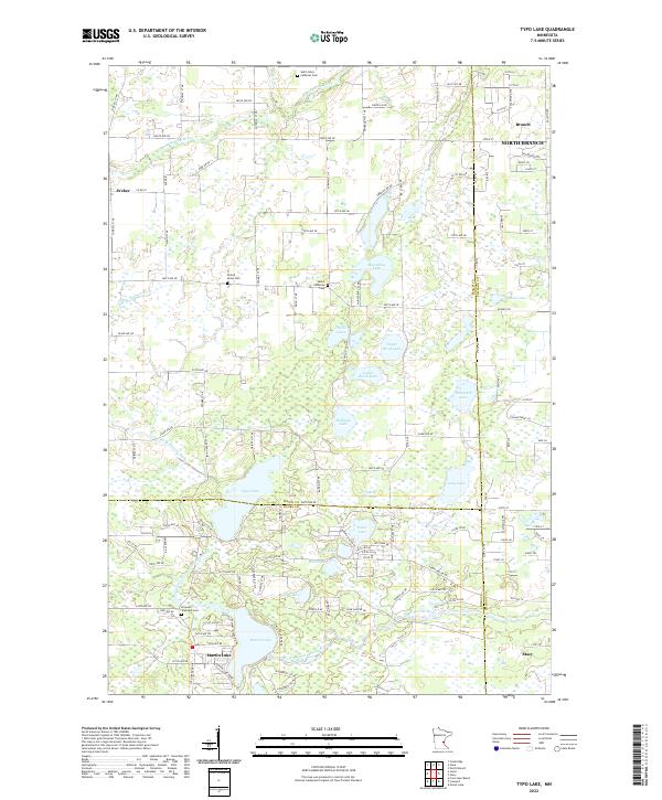
2022 Typo Lake
Isanti County, MN
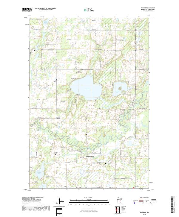
2022 Wyanett
Isanti County, MN