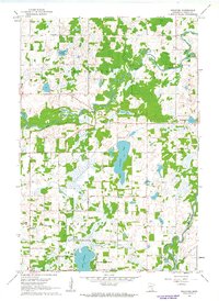
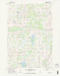
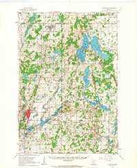
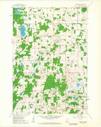
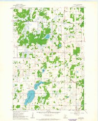
1961 Map of Bradford
USGS Topo · Published 1963About this map
Bradford and the surrounding township of the same name define this early 1960s landscape, where rural life centered on local institutions like Bradford Sch and the community Townhall. The area is characterized by its numerous water bodies and wetlands, with the meandering Rum River carving a path across the northern half of the sheet, joined by Stockfield Creek. To the south, residential development is evident along the water at West Lake Francis Shores and East Lake Francis Shores, signaling the post-war growth of lakeside recreation and seasonal living.
Find a feature on this map
25 named features on this map. Tap any name to fly to it.
Don’t see what you’re looking for? This feature index may not catch every label — zoom into the map to look around manually.
Map Details
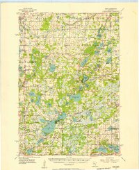
Editions of this 1961 Bradford Map
2 editions found
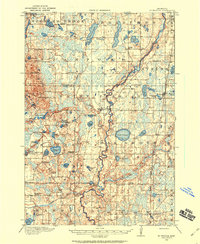
Other maps of this area
1916 · St. Francis
USGS Topo · 1:62,500
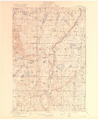
1919 · St. Francis
USGS Topo · 1:62,500

1953 · Stillwater
USGS Topo · 1:250,000
1955 · Isanti
USGS Topo · 1:62,500

1955 · Stillwater
USGS Topo · 1:250,000

1958 · Stillwater
USGS Topo · 1:250,000
1961 · Bradford
USGS Topo · 1:24,000
1961 · Cambridge
USGS Topo · 1:62,500
1961 · Springvale
USGS Topo · 1:24,000
1961 · Dalbo
USGS Topo · 1:24,000