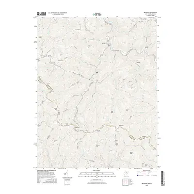
2016 Map of Bradshaw
USGS Topo · Published 2016About this map
Dry Fork cuts a deep path through the coal-rich mountains of the McDowell Co and Buchanan Co border, anchoring the small settlements of Bradshaw, Dan, and Lex. This 2016 survey documents a landscape defined by sharp ridges and narrow hollows, where family history is deeply rooted in the numerous hilltop and creek-side burial grounds. Genealogists can locate family-named sites such as Atwell Cem, Wimmer Cem, and Blankenship Cem clustered near Wimmer Gap. The transport network of State Rte 616 and numerous local branch roads, such as Turkey Branch Rd and Hagerman Branch Rd, follow the winding contours of the terrain, connecting isolated communities like Peapatch and Jewell Valley across State Line Ridge.
Find a feature on this map
109 named features on this map. Tap any name to fly to it.
Don’t see what you’re looking for? This feature index may not catch every label — zoom into the map to look around manually.
Map Details
Editions of this 2016 Bradshaw Map
This is the sole edition of this map. No revisions or reprints were ever made.
Other maps of this area

1891 · Tazewell
USGS Topo · 1:125,000

1895 · Tazewell
USGS Topo · 1:125,000

1897 · Tazewell
USGS Topo · 1:125,000

1910 · Iaeger
USGS Topo · 1:48,000

1912 · Pounding Mill
USGS Topo · 1:62,500

1912 · Iaeger
USGS Topo · 1:62,500

1912 · Welch
USGS Topo · 1:62,500

1914 · Iaeger
USGS Topo · 1:48,000

1915 · Richlands
USGS Topo · 1:48,000

1916 · Pounding Mill
USGS Topo · 1:62,500