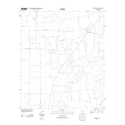
2012 Map of Bradshaw
USGS Topo · Published 2012About this map
The small settlement of Bradshaw serves as the focal point for this section of Taylor County, situated at the junction of several rural routes including FM-1086 and Co RD-230. The landscape is defined by its drainage systems, most notably Bluff Cr, which flows southward through the center of the sheet, and the Bluff Cr Reservoir located in the northwest. To the west, the community of Drasco sits along Ranch Road 2595, marking another node in the agricultural road network.
Find a feature on this map
55 named features on this map. Tap any name to fly to it.
Don’t see what you’re looking for? This feature index may not catch every label — zoom into the map to look around manually.
Map Details
Editions of this 2012 Bradshaw Map
This is the sole edition of this map. No revisions or reprints were ever made.
Other maps of this area

1890 · Abilene
USGS Topo · 1:125,000

1891 · Hayrick
USGS Topo · 1:125,000

1892 · Abilene
USGS Topo · 1:125,000

1892 · Ballinger
USGS Topo · 1:125,000

1893 · Sweetwater
USGS Topo · 1:125,000

1894 · Hayrick
USGS Topo · 1:125,000

1954 · Brownwood
USGS Topo · 1:250,000

1954 · Big Spring
USGS Topo · 1:250,000

1954 · Abilene
USGS Topo · 1:250,000

1954 · San Angelo
USGS Topo · 1:250,000