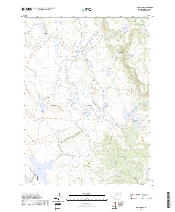
2023 Map of Brady Butte
USGS Topo · Published 2023About this map
Brady Butte and the surrounding high country of Klamath County define this landscape of specialized water management and distinct volcanic geography. The terrain is characterized by broad plateaus and flats, such as Antelope Flat and Rocky Plateau, where numerous small-scale water projects have been established to sustain the arid environment. A dense network of reservoirs including Midway Reservoir, Antelope Reservoir, and Willow Valley Reservoir indicates the critical importance of water storage for regional ranching or land management. Structural landforms like Horse Camp Rim and the curious series of knolls known as The Bumpheads provide significant topographical relief against the canyon systems of Bear Valley Canyon and the drainage of the East Branch Lost River. This 2023 survey details the modern infrastructure of Bureau of Land Management routes like BLM RD 40-14.5-4.0 that navigate the ridges between isolated springs such as Rimrock Spring and Alkali Spring.
Find a feature on this map
32 named features on this map. Tap any name to fly to it.
Don’t see what you’re looking for? This feature index may not catch every label — zoom into the map to look around manually.
Map Details
Editions of this 2023 Brady Butte Map
This is the sole edition of this map. No revisions or reprints were ever made.
Other maps of this area

1886 · Alturas
USGS Topo · 1:250,000

1886 · Modoc Lava Bed
USGS Topo · 1:250,000

1889 · Klamath
USGS Topo · 1:250,000

1892 · Modoc Lava-Bed
USGS Topo · 1:250,000

1892 · Alturas
USGS Topo · 1:250,000

1894 · Klamath
USGS Topo · 1:250,000

1951 · Clear Lake Reservoir
USGS Topo · 1:62,500

1954 · Alturas
USGS Topo · 1:250,000

1955 · Klamath Falls
USGS Topo · 1:250,000

1958 · Alturas
USGS Topo · 1:250,000