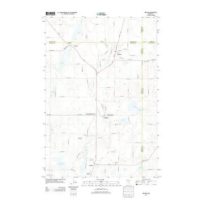
2013 Map of Braham
USGS Topo · Published 2013About this map
Braham serves as a central hub in this survey of East Central Minnesota, where the borders of Isanti, Kanabec, Pine, and Chisago counties converge. The landscape is defined by its glacial hydrology, featuring a dense network of water bodies including Rice Lake, Long Lake, and Little Stanchfield Lake, alongside the meandering Lower Stanchfield Br. These waters were foundational to the early development of rural settlements like Stanchfield, Grandy, and Andree.
Find a feature on this map
88 named features on this map. Tap any name to fly to it.
Don’t see what you’re looking for? This feature index may not catch every label — zoom into the map to look around manually.
Map Details
Editions of this 2013 Braham Map
This is the sole edition of this map. No revisions or reprints were ever made.
Other maps of this area

1953 · Stillwater
USGS Topo · 1:250,000

1955 · Stillwater
USGS Topo · 1:250,000

1958 · Stillwater
USGS Topo · 1:250,000

1961 · Bradford
USGS Topo · 1:24,000

1961 · Cambridge
USGS Topo · 1:62,500

1961 · Brook Park
USGS Topo · 1:62,500

1961 · Springvale
USGS Topo · 1:24,000

1961 · Dalbo
USGS Topo · 1:62,500

1965 · Stillwater
USGS Topo · 1:250,000
1968 · Mora South
USGS Topo · 1:24,000