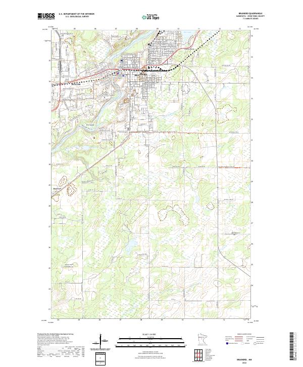
2022 Map of Brainerd
USGS Topo · Published 2022About this map
The Mississippi River winds through the heart of Crow Wing County, separating the regional hub of Brainerd from its neighbor Baxter. This modern survey documents the dense grid of Brainerd’s north side, where streets like L St NE and C St NE lead toward the Evergreen Cem and the industrial edge of the Cuyuna Range. To the southwest, the settlement of Barrows sits near the river's bend, marking a transition from urban development to the wetlands and small lakes characteristic of the region.
Find a feature on this map
158 named features on this map. Tap any name to fly to it.
Don’t see what you’re looking for? This feature index may not catch every label — zoom into the map to look around manually.
Map Details
Editions of this 2022 Brainerd Map
This is the sole edition of this map. No revisions or reprints were ever made.
Other maps of this area

1915 · Brainerd
USGS Topo · 1:62,500

1916 · Pillager
USGS Topo · 1:62,500

1918 · Brainerd
USGS Topo · 1:62,500

1919 · Pillager
USGS Topo · 1:62,500

1948 · Belle Prairie
USGS Topo · 1:62,500

1948 · Lastrup
USGS Topo · 1:62,500

1950 · Lastrup
USGS Topo · 1:62,500

1950 · Belle Prairie
USGS Topo · 1:62,500

1953 · Brainerd
USGS Topo · 1:250,000

1954 · Baxter
USGS Topo · 1:24,000
Featured Places
- Brainerd, MN
- Baxter, MN
- Westwood Mobile Home Park, Brainerd
- East Gate Mobile Home Park, Brainerd
- Meadow View Manor, Brainerd