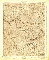
1925 Map of Bramwell
USGS Topo · Published 1925About this map
The Norfolk and Western RR carves a critical path through this landscape, threading together the coal-producing towns of Keystone, Northfork, and Elkhorn. This 1925 record captures a densely populated industrial corridor where settlements like Switchback and Maybeury cling to the valley floors between the massive heights of Elkhorn Ridge and North Fork Ridge. The sheer concentration of small company towns along the Tug Fork and Bluestone River illustrates the peak of the regional extraction economy during the early twentieth century.
Find a feature on this map
107 named features on this map. Tap any name to fly to it.
Don’t see what you’re looking for? This feature index may not catch every label — zoom into the map to look around manually.
Map Details
Editions of this 1925 Bramwell Map
3 editions found
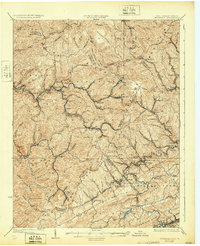
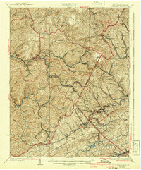
Other maps of this area

1887 · Pocahontas
USGS Topo · 1:125,000

1891 · Tazewell
USGS Topo · 1:125,000

1891 · Pocahontas
USGS Topo · 1:125,000

1891 · Oceana
USGS Topo · 1:125,000

1891 · Raleigh
USGS Topo · 1:125,000

1893 · Oceana
USGS Topo · 1:125,000

1894 · Pocahontas
USGS Topo · 1:125,000

1895 · Tazewell
USGS Topo · 1:125,000

1895 · Pocahontas
USGS Topo · 1:125,000

1897 · Tazewell
USGS Topo · 1:125,000