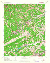
1962 Map of Bramwell
USGS Topo · Published 1964About this map
Bramwell and the surrounding coal country of Mercer Co and Tazewell Co are defined by the intricate winding of the Bluestone River and the industrial activity of the Norfolk and Western railroad. In the early 1960s, the landscape was a patchwork of extraction and community, where extensive Strip Mines and numerous tipples sat adjacent to long-established family burial grounds like the Pocahontas Cem and Godfrey Cem.
Find a feature on this map
111 named features on this map. Tap any name to fly to it.
Don’t see what you’re looking for? This feature index may not catch every label — zoom into the map to look around manually.
Map Details
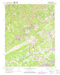
Editions of this 1962 Bramwell Map
2 editions found
Other maps of this area

1887 · Pocahontas
USGS Topo · 1:125,000

1891 · Pocahontas
USGS Topo · 1:125,000

1894 · Pocahontas
USGS Topo · 1:125,000

1895 · Pocahontas
USGS Topo · 1:125,000

1909 · Pocahontas Special
USGS Topo · 1:48,000

1911 · Pocahontas Special
USGS Topo · 1:62,500

1913 · Bluefield
USGS Topo · 1:48,000

1916 · Bluefield
USGS Topo · 1:62,500

1924 · Bramwell
USGS Topo · 1:62,500

1924 · Bluefield
USGS Topo · 1:62,500