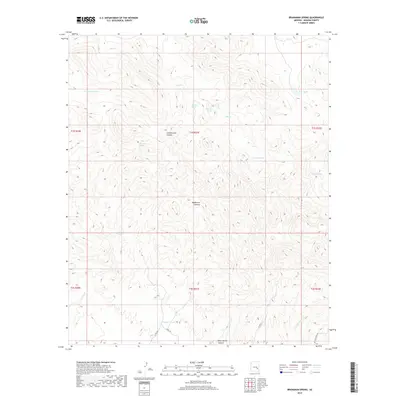
2018 Map of Branaman Spring
USGS Topo · Published 2018About this map
Branaman Spring and its namesake tank anchor a remote desert landscape in Graham County, where essential water sources define the geography. This 2018 survey documents a network of named springs and livestock tanks across a terrain carved by Cottonwood Canyon and Wildhorse Canyon. The drainage pattern is led by Salt Cr in the north and the expansive Fivemile Wash to the southeast, illustrating how water management shapes this arid region.
Find a feature on this map
24 named features on this map. Tap any name to fly to it.
Don’t see what you’re looking for? This feature index may not catch every label — zoom into the map to look around manually.
Map Details
Editions of this 2018 Branaman Spring Map
This is the sole edition of this map. No revisions or reprints were ever made.
Other maps of this area

1954 · Mesa
USGS Topo · 1:250,000

1957 · Mesa
USGS Topo · 1:250,000

1958 · Mesa
USGS Topo · 1:250,000

1960 · Mesa
USGS Topo · 1:250,000

1960 · Bylas
USGS Topo · 1:62,500

1962 · San Carlos Reservoir
USGS Topo · 1:62,500

1964 · Mesa
USGS Topo · 1:250,000

1965 · Sontag Mesa
USGS Topo · 1:24,000

1966 · Branaman Spring
USGS Topo · 1:24,000
1966 · Bronco Gulch
USGS Topo · 1:24,000