
1966 Map of Branaman Spring
USGS Topo · Published 1967About this map
The San Carlos Indian Reservation covers the vast majority of this landscape, which is defined by a network of deep drainages and intermittent water sources. Named for the prominent Branaman Spring and nearby Branaman Cave, the topography is carved by Cottonwood Canyon and Wildhorse Canyon. The 1960s survey illustrates a rugged cattle-ranching and range-management infrastructure typical of this part of Graham County, featuring numerous developed water points such as Mule Well, Salt Box Tank, and Boni Tank. Access is limited to a sparse collection of Jeep Trails that navigate the ridges between Salt Creek and Fivemile Wash. The presence of labels like No Way Spring and Lost Man Tank hints at the difficult nature of this high-desert terrain for early travelers and land managers.
Find a feature on this map
19 named features on this map. Tap any name to fly to it.
Don’t see what you’re looking for? This feature index may not catch every label — zoom into the map to look around manually.
Map Details
Editions of this 1966 Branaman Spring Map
This is the sole edition of this map. No revisions or reprints were ever made.
Other maps of this area

1954 · Mesa
USGS Topo · 1:250,000

1957 · Mesa
USGS Topo · 1:250,000

1958 · Mesa
USGS Topo · 1:250,000

1960 · Mesa
USGS Topo · 1:250,000

1960 · Bylas
USGS Topo · 1:62,500

1962 · San Carlos Reservoir
USGS Topo · 1:62,500

1964 · Mesa
USGS Topo · 1:250,000

1965 · Sontag Mesa
USGS Topo · 1:24,000
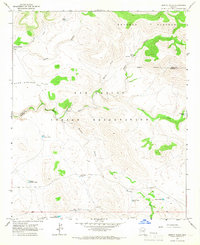
1966 · Bronco Gulch
USGS Topo · 1:24,000
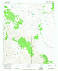
1966 · Ash Creek Ranch
USGS Topo · 1:24,000