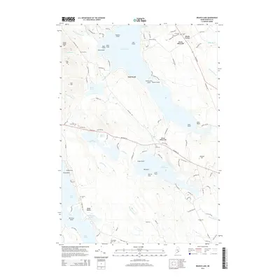
2014 Map of Branch Lake
USGS Topo · Published 2014About this map
Branch Lake dominates this Hancock County landscape, its waters dotted with numerous named islands such as Teachers Island, Cow Island, and Steres Island. The shoreline is a mix of small settlements and recreational spots like Sand Beach and Hales Beach. To the east and south, the terrain transitions into a dense network of smaller water bodies including Upper Patten Pond, Lower Patten Pond, and the branching Toddy Pond.
Find a feature on this map
111 named features on this map. Tap any name to fly to it.
Don’t see what you’re looking for? This feature index may not catch every label — zoom into the map to look around manually.
Map Details
Editions of this 2014 Branch Lake Map
This is the sole edition of this map. No revisions or reprints were ever made.
Other maps of this area

1900 · Orland
USGS Topo · 1:62,500

1904 · Mount Desert
USGS Topo · 1:62,500

1904 · Bluehill
USGS Topo · 1:62,500

1905 · Penobscot Bay
USGS Topo · 1:125,000

1911 · Ellsworth
USGS Topo · 1:62,500

1940 · Ellsworth
USGS Topo · 1:62,500

1942 · Orland
USGS Topo · 1:62,500

1942 · Ellsworth
USGS Topo · 1:62,500

1942 · Mount Desert
USGS Topo · 1:62,500

1944 · Blue Hill
USGS Topo · 1:62,500