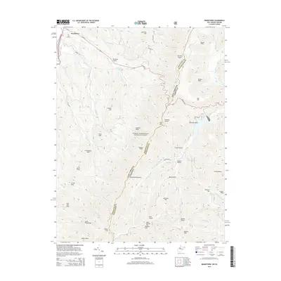
2014 Map of Brandywine
USGS Topo · Published 2014About this map
Brandywine serves as the primary settlement on this terrain, situated along Us HWY 33 and near the historic Pine Hill Cem. The landscape is dominated by the high ridgeline of Shenandoah Mountain, which forms the boundary between West Virginia and Virginia. This crest is marked by notable peaks such as High Knob, Flagpole Knob, and Slate Springs Mtn, serving as a natural divide for the region's drainage.
Find a feature on this map
53 named features on this map. Tap any name to fly to it.
Don’t see what you’re looking for? This feature index may not catch every label — zoom into the map to look around manually.
Map Details
Editions of this 2014 Brandywine Map
This is the sole edition of this map. No revisions or reprints were ever made.
Other maps of this area

1892 · Franklin
USGS Topo · 1:125,000

1894 · Staunton
USGS Topo · 1:125,000

1896 · Franklin
USGS Topo · 1:125,000

1922 · Fort Seybert
USGS Topo · 1:48,000

1922 · Circleville
USGS Topo · 1:62,500

1924 · Circleville
USGS Topo · 1:48,000

1924 · Mc Dowell
USGS Topo · 1:62,500

1924 · Fort Seybert
USGS Topo · 1:62,500

1944 · Parnassus
USGS Topo · 1:62,500

1944 · Mc Dowell
USGS Topo · 1:62,500