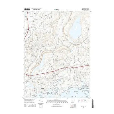
2015 Map of Branford
USGS Topo · Published 2015About this map
The coastal and inland landscapes of south-central Connecticut are revealed through this 2015 study, dominated by the expansive Lake Saltonstall and the massive reservoir of Lake Gaillard. The settlement patterns of Branford, North Branford, and North Haven are shown in detail, documenting the modern suburban density and road networks like Sackett Point Rd and Foxon Rd. Along the Long Island Sound shore, the map depicts the complex geology of islands and points, from Indian Neck and Pine Orchard to the rocky clusters of Stony Creek and Double Beach. Genealogists will find the locations of numerous historic burial grounds, including All Saints Cem and the Damascus Cem. Inland, prominent terrain features like Rabbit Rock and Saltonstall Ridge provide a topographical frame for the residential development surrounding the Quinnipiac River and the Farm River valley.
Find a feature on this map
302 named features on this map. Tap any name to fly to it.
Don’t see what you’re looking for? This feature index may not catch every label — zoom into the map to look around manually.
Map Details
Editions of this 2015 Branford Map
This is the sole edition of this map. No revisions or reprints were ever made.
Other maps of this area

1892 · New Haven
USGS Topo · 1:62,500

1893 · Guilford
USGS Topo · 1:62,500

1921 · New Haven
USGS Topo · 1:62,500

1943 · Durham
USGS Topo · 1:25,000

1943 · New Haven
USGS Topo · 1:31,680

1947 · Hartford
USGS Topo · 1:250,000

1948 · Hartford
USGS Topo · 1:250,000
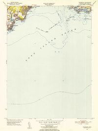
1951 · Woodmont
USGS Topo · 1:31,680

1953 · Durham
USGS Topo · 1:31,680

1954 · Guilford
USGS Topo · 1:31,680