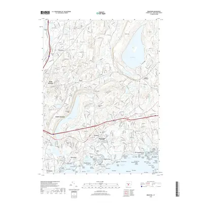
2018 Map of Branford
USGS Topo · Published 2018About this map
The coastal shoreline of Long Island Sound defines the character of this Connecticut landscape, stretching from New Haven and East Haven to the archipelago of The Thimbles. The area is anchored by the historic core of Branford Center and the surrounding neighborhoods of Short Beach, Indian Neck, and Stony Creek. This inland-coastal transition is marked by significant water bodies used for utility and recreation, including Lake Gaillard, the Branford Supply Ponds, and Lake Saltonstall.
Find a feature on this map
307 named features on this map. Tap any name to fly to it.
Don’t see what you’re looking for? This feature index may not catch every label — zoom into the map to look around manually.
Map Details
Editions of this 2018 Branford Map
This is the sole edition of this map. No revisions or reprints were ever made.
Other maps of this area

1892 · New Haven
USGS Topo · 1:62,500

1893 · Guilford
USGS Topo · 1:62,500

1921 · New Haven
USGS Topo · 1:62,500

1943 · Durham
USGS Topo · 1:25,000

1943 · New Haven
USGS Topo · 1:31,680

1947 · Hartford
USGS Topo · 1:250,000

1948 · Hartford
USGS Topo · 1:250,000
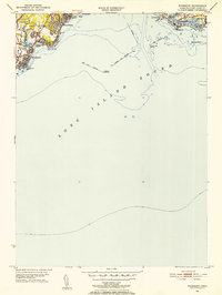
1951 · Woodmont
USGS Topo · 1:31,680

1953 · Durham
USGS Topo · 1:31,680

1954 · Guilford
USGS Topo · 1:31,680