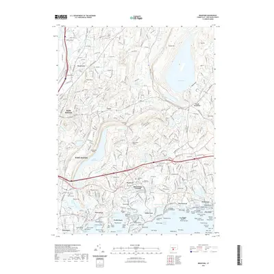
2021 Map of Branford
USGS Topo · Published 2021About this map
The Quinnipiac River and its accompanying wetlands mark the western edge of this 2021 coastal study, where the urban density of New Haven and East Haven transitions into the rocky, island-strewn shoreline of Long Island Sound. The map highlights a series of significant reservoirs and millponds, including the massive Lake Gaillard to the north and the elongated Lake Saltonstall, which is flanked by the distinctive Saltonstall Ridge.
Find a feature on this map
339 named features on this map. Tap any name to fly to it.
Don’t see what you’re looking for? This feature index may not catch every label — zoom into the map to look around manually.
Map Details
Editions of this 2021 Branford Map
This is the sole edition of this map. No revisions or reprints were ever made.
Other maps of this area

1892 · New Haven
USGS Topo · 1:62,500

1893 · Guilford
USGS Topo · 1:62,500

1921 · New Haven
USGS Topo · 1:62,500

1943 · Durham
USGS Topo · 1:25,000

1943 · New Haven
USGS Topo · 1:31,680

1947 · Hartford
USGS Topo · 1:250,000

1948 · Hartford
USGS Topo · 1:250,000
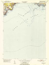
1951 · Woodmont
USGS Topo · 1:31,680

1953 · Durham
USGS Topo · 1:31,680

1954 · Guilford
USGS Topo · 1:31,680