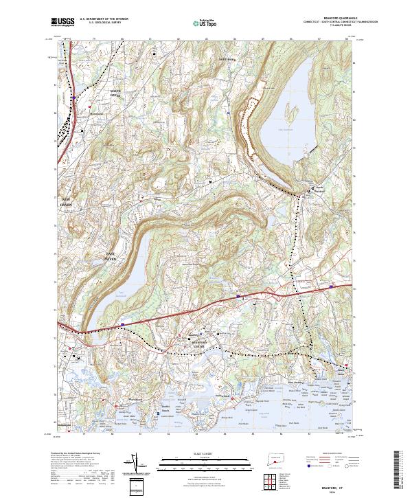
2024 Map of Branford
USGS Topo · Published 2024About this map
The coastal shoreline of Long Island Sound defines this part of New Haven County, stretching from the tidal marshes of Short Beach and Indian Neck to the cluster of islands near Stony Creek. The landscape transitions from the dense urban edges of New Haven and East Haven into the dramatic geography of the Metacomet Ridge and Totoket Mtn, where significant water resources like Lake Saltonstall and the massive Lake Gaillard dominate the interior.
Find a feature on this map
147 named features on this map. Tap any name to fly to it.
Don’t see what you’re looking for? This feature index may not catch every label — zoom into the map to look around manually.
Map Details
Editions of this 2024 Branford Map
This is the sole edition of this map. No revisions or reprints were ever made.
Other maps of this area

1892 · New Haven
USGS Topo · 1:62,500

1893 · Guilford
USGS Topo · 1:62,500

1921 · New Haven
USGS Topo · 1:62,500

1943 · Durham
USGS Topo · 1:25,000

1943 · New Haven
USGS Topo · 1:31,680

1947 · Hartford
USGS Topo · 1:250,000

1948 · Hartford
USGS Topo · 1:250,000
1951 · Woodmont
USGS Topo · 1:31,680

1953 · Durham
USGS Topo · 1:31,680

1954 · Guilford
USGS Topo · 1:31,680