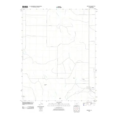
2010 Map of Branson
USGS Topo · Published 2010About this map
Branson sits at the heart of this high-plains landscape, where the town layout is centered around Branson St near the Colorado-New Mexico border. The surrounding terrain is defined by a network of drainage systems, including the prominent Trementina Creek, Alkali Arroyo, and Doss Arroyo, which carve through the land south toward Saddle Rock. This area reflects a long history of settlement and community, evidenced by the presence of several established burial grounds like the Mountain View Cemetery, Cejita Cemetery, and Romero Cemetery. Traces of the region's ranching and rural past are visible in the location of Watervale and the extensive grid of county roads, such as County Rd-16 and County Rd-6.8, that connect isolated landmarks across the arid landscape.
Find a feature on this map
25 named features on this map. Tap any name to fly to it.
Don’t see what you’re looking for? This feature index may not catch every label — zoom into the map to look around manually.
Map Details
Editions of this 2010 Branson Map
This is the sole edition of this map. No revisions or reprints were ever made.
Other maps of this area

1891 · Mesa De Maya
USGS Topo · 1:125,000

1892 · Elmoro
USGS Topo · 1:125,000

1893 · Elmoro
USGS Topo · 1:125,000

1893 · Mesa de Maya
USGS Topo · 1:125,000

1897 · Elmoro
USGS Topo · 1:125,000

1954 · Raton
USGS Topo · 1:250,000

1954 · Trinidad
USGS Topo · 1:250,000

1954 · Dalhart
USGS Topo · 1:250,000

1955 · La Junta
USGS Topo · 1:250,000

1955 · Trinidad
USGS Topo · 1:250,000