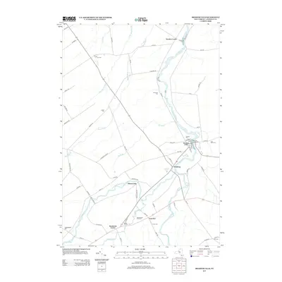
2013 Map of Brasher Falls
USGS Topo · Published 2013About this map
The Saint-Regis River dictates the layout of Saint Lawrence County as it flows through the heart of Brasher Falls and Winthrop. This northern New York landscape is defined by its small crossroads settlements and numerous family and community burial grounds, such as Fairview Cem and Saint Patrick Cem. The presence of Skinnerville and East Part suggests a history of localized rural development along the river's path and its tributaries like Bell Brook. Transportation is anchored by the convergence of several routes at these population centers, while leisure sites such as the Meadowbrook Golf Course and Riverside Campground show how the riverfront evolved by the early 21st century. Genealogists will find significant value in the distribution of smaller cemeteries like Kyle Cem and Jenkins Cem, which anchor family legacies to specific rural corners.
Find a feature on this map
72 named features on this map. Tap any name to fly to it.
Don’t see what you’re looking for? This feature index may not catch every label — zoom into the map to look around manually.
Map Details
Editions of this 2013 Brasher Falls Map
This is the sole edition of this map. No revisions or reprints were ever made.
Other maps of this area

1906 · Massena
USGS Topo · 1:62,500

1907 · Massena
USGS Topo · 1:62,500

1908 · Potsdam
USGS Topo · 1:62,500

1915 · Moira
USGS Topo · 1:62,500

1917 · Moira
USGS Topo · 1:62,500

1919 · Nicholville
USGS Topo · 1:62,500

1921 · Nicholville
USGS Topo · 1:62,500

1942 · Norfolk
USGS Topo · 1:24,000

1942 · Massena
USGS Topo · 1:24,000

1943 · Potsdam
USGS Topo · 1:31,680