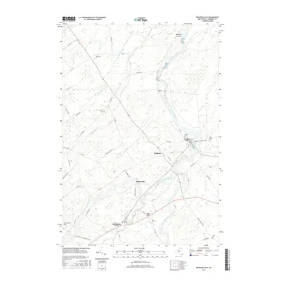
2016 Map of Brasher Falls
USGS Topo · Published 2016About this map
The Saint Regis River defines the landscape of this northern New York region, winding past several riverside communities including Brasher Falls and Winthrop. This 2016 survey illustrates a corridor of settlement that follows the river's path, where agricultural roads connect small hubs like Skinnerville and Stockholm Center. The map provides substantial detail for local researchers, documenting numerous small family and community burial grounds such as Holmes Hill Cem and Richardson Cem.
Find a feature on this map
58 named features on this map. Tap any name to fly to it.
Don’t see what you’re looking for? This feature index may not catch every label — zoom into the map to look around manually.
Map Details
Editions of this 2016 Brasher Falls Map
This is the sole edition of this map. No revisions or reprints were ever made.
Other maps of this area

1906 · Massena
USGS Topo · 1:62,500

1907 · Massena
USGS Topo · 1:62,500

1908 · Potsdam
USGS Topo · 1:62,500

1915 · Moira
USGS Topo · 1:62,500

1917 · Moira
USGS Topo · 1:62,500

1919 · Nicholville
USGS Topo · 1:62,500

1921 · Nicholville
USGS Topo · 1:62,500

1942 · Norfolk
USGS Topo · 1:24,000

1942 · Massena
USGS Topo · 1:24,000

1943 · Potsdam
USGS Topo · 1:31,680