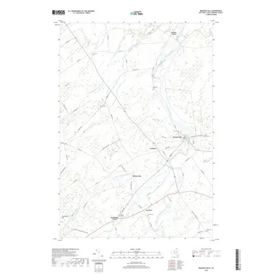
2019 Map of Brasher Falls
USGS Topo · Published 2019About this map
Brasher Falls and Winthrop anchor this northern New York landscape where the Saint Regis River and its West Branch converge. The settlement pattern reflects a classic riverside economy, with clusters at Skinnerville and Brasher Center linked by a dense network of local roads such as Co Rd 53 and Catamount Ridge Rd. The map is particularly notable for its high concentration of family and community burial grounds, including Holmes Hill Cem near Stockholm Center and Saint Patrick Cem on the eastern edge of the village. The terrain is defined by the winding paths of Squeak Brook and Bell Brook as they drain toward the main river valley, while the rise of Grasshopper Hill provides one of the few named topographic landmarks in this agricultural and riverine corridor.
Find a feature on this map
62 named features on this map. Tap any name to fly to it.
Don’t see what you’re looking for? This feature index may not catch every label — zoom into the map to look around manually.
Map Details
Editions of this 2019 Brasher Falls Map
This is the sole edition of this map. No revisions or reprints were ever made.
Other maps of this area

1906 · Massena
USGS Topo · 1:62,500

1907 · Massena
USGS Topo · 1:62,500

1908 · Potsdam
USGS Topo · 1:62,500

1915 · Moira
USGS Topo · 1:62,500

1917 · Moira
USGS Topo · 1:62,500

1919 · Nicholville
USGS Topo · 1:62,500

1921 · Nicholville
USGS Topo · 1:62,500

1942 · Norfolk
USGS Topo · 1:24,000

1942 · Massena
USGS Topo · 1:24,000

1943 · Potsdam
USGS Topo · 1:31,680