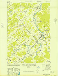
1946 Map of Brasher Falls
USGS Topo · Published 1946About this map
The ST Regis River flows northward through the heart of this landscape, defining the character of several riverside communities in St. Lawrence County. Brasher Falls and Winthrop appear as neighboring centers of activity, linked by a dense network of local roads including Street and Dullea Road. The presence of the Rutland Branch railroad line highlights the importance of rail transport for these rural hamlets, providing a critical link to the broader region.
Find a feature on this map
47 named features on this map. Tap any name to fly to it.
Don’t see what you’re looking for? This feature index may not catch every label — zoom into the map to look around manually.
Map Details
Editions of this 1946 Brasher Falls Map
This is the sole edition of this map. No revisions or reprints were ever made.
Other maps of this area

1906 · Massena
USGS Topo · 1:62,500

1907 · Massena
USGS Topo · 1:62,500

1908 · Potsdam
USGS Topo · 1:62,500

1915 · Moira
USGS Topo · 1:62,500

1917 · Moira
USGS Topo · 1:62,500

1919 · Nicholville
USGS Topo · 1:62,500

1921 · Nicholville
USGS Topo · 1:62,500

1942 · Norfolk
USGS Topo · 1:24,000

1942 · Massena
USGS Topo · 1:24,000

1943 · Potsdam
USGS Topo · 1:31,680