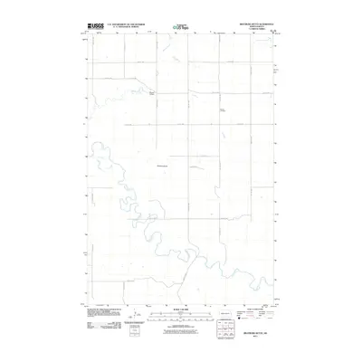
2011 Map of Bratburg Butte
USGS Topo · Published 2011About this map
The Heart River meanders sharply through this Stark County landscape, defining the topography of the prairie south of Bratburg Butte. This 2011 survey captures a rural North Dakota environment shaped by its waterways and a rigid sectional road grid. Evidence of local aviation and early settlement history appears in the northern half of the map, where the private Brands Airfield sits near the upper reaches of Beaver Creek. To the east, Pioneer Cemetery provides a specific point of interest for genealogists and local historians, situated along 93rd Ave SW. The map also traces Government Creek as it cuts across the northeast corner, illustrating the drainage patterns that have historically dictated land use and road placement in this region of the Great Plains.
Find a feature on this map
23 named features on this map. Tap any name to fly to it.
Don’t see what you’re looking for? This feature index may not catch every label — zoom into the map to look around manually.
Map Details
Editions of this 2011 Bratburg Butte Map
This is the sole edition of this map. No revisions or reprints were ever made.
Other maps of this area

1953 · Dickinson
USGS Topo · 1:250,000

1957 · Dickinson
USGS Topo · 1:250,000

1960 · White Butte NW
USGS Topo · 1:24,000

1960 · White Butte NE
USGS Topo · 1:24,000

1973 · Bratburg Butte
USGS Topo · 1:24,000

1973 · Boyle
USGS Topo · 1:24,000

1973 · Taylor
USGS Topo · 1:24,000

1973 · Lefor
USGS Topo · 1:24,000

1973 · Richardton SE
USGS Topo · 1:24,000

1973 · Gladstone
USGS Topo · 1:24,000