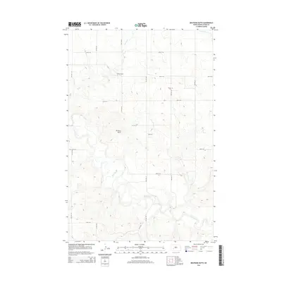
2014 Map of Bratburg Butte
USGS Topo · Published 2014About this map
Bratburg Butte rises as a prominent landmark in this segment of Stark County, where the high prairie begins its descent into the winding valley of the Heart River. The landscape is defined by a rigorous section-line road grid, including Benzie Ave and 45th St SW, which facilitates access to the scattered homesteads and agricultural operations of the region. Local history and genealogy interest is anchored by the Pioneer Cem, located in the northeastern portion of the quadrangle along 93rd Ave SW. Waterways such as Beaver Cr and Government Cr cut through the terrain, illustrating the drainage patterns that have shaped this rural North Dakota environment. The presence of Brands Airport reflects the continued importance of small-scale aviation in the vast, open reaches of the Great Plains during the early 21st century.
Find a feature on this map
21 named features on this map. Tap any name to fly to it.
Don’t see what you’re looking for? This feature index may not catch every label — zoom into the map to look around manually.
Map Details
Editions of this 2014 Bratburg Butte Map
This is the sole edition of this map. No revisions or reprints were ever made.
Other maps of this area

1953 · Dickinson
USGS Topo · 1:250,000

1957 · Dickinson
USGS Topo · 1:250,000

1960 · White Butte NW
USGS Topo · 1:24,000

1960 · White Butte NE
USGS Topo · 1:24,000

1973 · Bratburg Butte
USGS Topo · 1:24,000

1973 · Boyle
USGS Topo · 1:24,000

1973 · Taylor
USGS Topo · 1:24,000

1973 · Lefor
USGS Topo · 1:24,000

1973 · Richardton SE
USGS Topo · 1:24,000

1973 · Gladstone
USGS Topo · 1:24,000