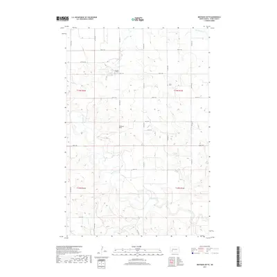
2017 Map of Bratburg Butte
USGS Topo · Published 2017About this map
Bratburg Butte rises as a prominent landmark in the central North Dakota landscape, surrounded by the headwaters and drainages of the Heart River. This portion of Stark County is characterized by a sparse, organized grid of rural roads like 97th Ave SW and 43rd St SW, reflecting the agricultural townships of T139N and T138N. Local history is anchored by the Pioneer Cem to the northeast, while the presence of Brands Airport indicates the role of private aviation in navigating this wide-open terrain. Water remains the primary shaper of the land, with Beaver Cr and Government Cr cutting through the undulating plains, providing essential drainage for the region's farms and ranches.
Find a feature on this map
25 named features on this map. Tap any name to fly to it.
Don’t see what you’re looking for? This feature index may not catch every label — zoom into the map to look around manually.
Map Details
Editions of this 2017 Bratburg Butte Map
This is the sole edition of this map. No revisions or reprints were ever made.
Other maps of this area

1953 · Dickinson
USGS Topo · 1:250,000

1957 · Dickinson
USGS Topo · 1:250,000

1960 · White Butte NW
USGS Topo · 1:24,000

1960 · White Butte NE
USGS Topo · 1:24,000

1973 · Bratburg Butte
USGS Topo · 1:24,000

1973 · Boyle
USGS Topo · 1:24,000

1973 · Taylor
USGS Topo · 1:24,000

1973 · Lefor
USGS Topo · 1:24,000

1973 · Richardton SE
USGS Topo · 1:24,000

1973 · Gladstone
USGS Topo · 1:24,000