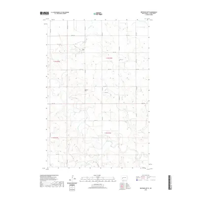
2020 Map of Bratburg Butte
USGS Topo · Published 2020About this map
The Heart River meanders across the southern portion of this Stark County landscape, joined by drainage from Beaver Cr and Government Cr to the north. Centered on the prominent landmark of Bratburg Butte, the terrain is defined by the section-line grid typical of North Dakota’s rural expanse. Significant local sites include the Pioneer Cem situated near the intersection of 39th St SW and 93rd Ave SW, alongside the small private landing strip at Brands Airport. A network of gravel and section roads like Benzie Ave and 43rd St SW provides access to the ranch and agricultural holdings across the townships of T139N and T138N. This document provides a record of land use and small-scale infrastructure in the western reaches of the state at the start of the 2020s.
Find a feature on this map
19 named features on this map. Tap any name to fly to it.
Don’t see what you’re looking for? This feature index may not catch every label — zoom into the map to look around manually.
Map Details
Editions of this 2020 Bratburg Butte Map
This is the sole edition of this map. No revisions or reprints were ever made.
Other maps of this area

1953 · Dickinson
USGS Topo · 1:250,000

1957 · Dickinson
USGS Topo · 1:250,000

1960 · White Butte NW
USGS Topo · 1:24,000

1960 · White Butte NE
USGS Topo · 1:24,000

1973 · Bratburg Butte
USGS Topo · 1:24,000

1973 · Boyle
USGS Topo · 1:24,000

1973 · Taylor
USGS Topo · 1:24,000

1973 · Lefor
USGS Topo · 1:24,000

1973 · Richardton SE
USGS Topo · 1:24,000

1973 · Gladstone
USGS Topo · 1:24,000