1893 Map of Brattleboro
USGS Topo · Published 1905About this map
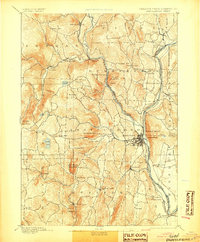
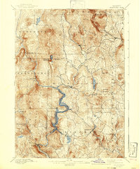
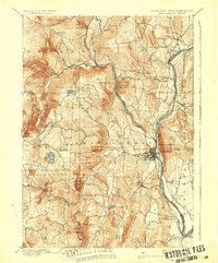
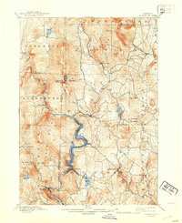
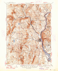
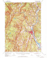
Connecticut River and West River converge at the regional hub of Brattleboro, providing the central axis for this late 19th-century study of the Vermont-New Hampshire border. The landscape is defined by its early industrial and transport infrastructure, where the Vermont Valley Railroad and Brattleboro and Whitehall Railroad follow the valley floors to connect disparate villages like Williamsville and Dummerston. A prominent Quarry on the slopes of Black Mountain reflects the local extractive economy near the river corridor.
Find a feature on this map
66 named features on this map. Tap any name to fly to it.
Don’t see what you’re looking for? This feature index may not catch every label — zoom into the map to look around manually.
Map Details
Editions of this 1893 Brattleboro Map
7 editions found


Historical Maps of Brattleboro Through Time
26 maps found
1889 Wilmington
Windham County, VT

1891 Brattleboro
Windham County, VT

1891 Wilmington
Windham County, VT
1893 Brattleboro
Windham County, VT
1899 Wilmington
Windham County, VT

1932 Brattleboro
Windham County, VT
1935 Brattleboro
Windham County, VT

1943 Brattleboro
Windham County, VT
1954 Brattleboro
Windham County, VT
1954 Wilmington
Windham County, VT
1984 Brattleboro
Windham County, VT
1984 Newfane
Windham County, VT
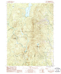
1986 Mount Snow
Windham County, VT
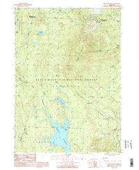
1986 Stratton Mtn
Windham County, VT
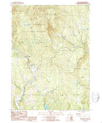
1986 West Dover
Windham County, VT
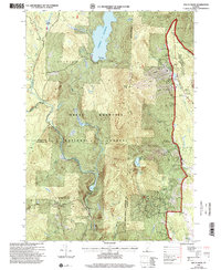
1997 Mount Snow
Windham County, VT
1997 West Dover
Windham County, VT
1997 Westminster West
Windham County, VT
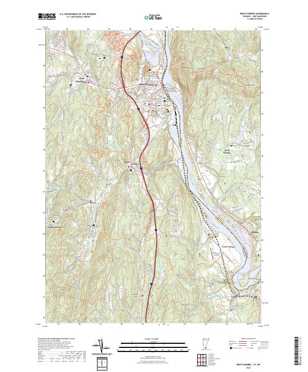
2024 Brattleboro
Windham County, VT
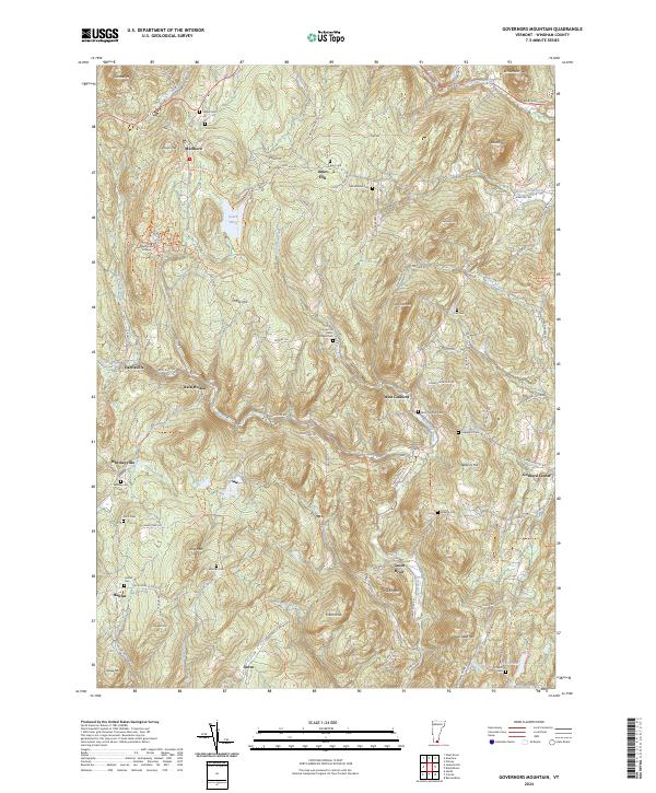
2024 Governors Mountain
Windham County, VT
2024 Mount Snow
Windham County, VT
2024 Newfane
Windham County, VT
2024 Putney
Windham County, VT
2024 West Dover
Windham County, VT
2024 Westminster West
Windham County, VT
2024 Windham
Windham County, VT