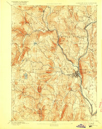
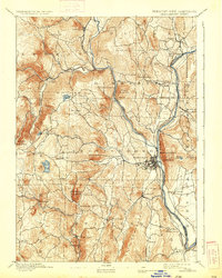
1893 Map of Brattleboro
USGS Topo · Published 1916About this map
The Connecticut River serves as the dominant eastern artery of this landscape, forming the boundary between Vermont and New Hampshire. This late 19th-century survey highlights a region defined by river-valley industry and upland farming, where the Central Vermont Railroad and the New London Northern Railroad parallel the water, connecting hubs like Brattleboro and Vernon. The topography is marked by significant heights such as Black Mountain, which sits adjacent to a quarry operation near West Dummerston.
Find a feature on this map
63 named features on this map. Tap any name to fly to it.
Don’t see what you’re looking for? This feature index may not catch every label — zoom into the map to look around manually.
Map Details
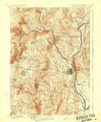
Editions of this 1893 Brattleboro Map
7 editions found
Other maps of this area

1886 · Hawley
USGS Topo · 1:62,500

1887 · Warwick
USGS Topo · 1:62,500

1889 · Warwick
USGS Topo · 1:62,500

1889 · Wilmington
USGS Topo · 1:62,500

1890 · Hawley
USGS Topo · 1:62,500

1890 · Greenfield
USGS Topo · 1:62,500

1891 · Wilmington
USGS Topo · 1:62,500

1891 · Brattleboro
USGS Topo · 1:62,500

1893 · Brattleboro
USGS Topo · 1:62,500

1894 · Greenfield
USGS Topo · 1:62,500