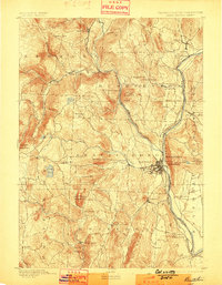
1893 Map of Brattleboro
USGS Topo · Published 1898About this map
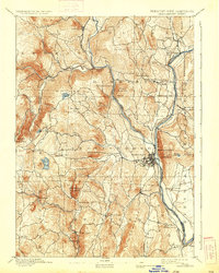
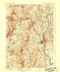
The Connecticut River serves as the dominant corridor for commerce and transport in this late 19th-century survey of Windham County. Following the river's western bank, the Vermont Valley Railroad links key hubs like Putney Station and Dummerston Station, while the Brattleboro and Whitehall Railroad strikes northwest through the valley of the West River. This rail-and-river network supported a landscape of industrial and agricultural nodes, from the Quarry near Black Mountain to the clustered streets of Brattleboro.
Find a feature on this map
63 named features on this map. Tap any name to fly to it.
Don’t see what you’re looking for? This feature index may not catch every label — zoom into the map to look around manually.
Map Details
Editions of this 1893 Brattleboro Map
7 editions found
Other maps of this area

1886 · Hawley
USGS Topo · 1:62,500

1887 · Warwick
USGS Topo · 1:62,500

1889 · Warwick
USGS Topo · 1:62,500

1889 · Wilmington
USGS Topo · 1:62,500

1890 · Hawley
USGS Topo · 1:62,500

1890 · Greenfield
USGS Topo · 1:62,500

1891 · Wilmington
USGS Topo · 1:62,500

1891 · Brattleboro
USGS Topo · 1:62,500

1893 · Brattleboro
USGS Topo · 1:62,500

1894 · Greenfield
USGS Topo · 1:62,500