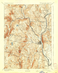
1893 Map of Brattleboro
USGS Topo · Published 1933About this map
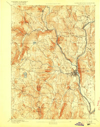
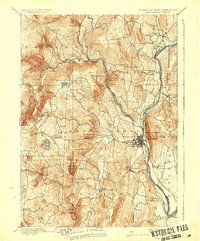
Brattleboro serves as the focal point of this late 19th-century survey, situated at the confluence of the Connecticut River and Whetstone Brook. The landscape is defined by its industrial and transport connectivity, evidenced by the convergence of the Vermont Valley Railroad, the New London Northern Railroad, and the Brattleboro and Whitehall Railroad. These rail lines follow the river valleys, linking scattered settlements like Dummerston Station and Williamsville Station to the regional hubs.
Find a feature on this map
62 named features on this map. Tap any name to fly to it.
Don’t see what you’re looking for? This feature index may not catch every label — zoom into the map to look around manually.
Map Details
Editions of this 1893 Brattleboro Map
7 editions found
Other maps of this area

1886 · Hawley
USGS Topo · 1:62,500

1887 · Warwick
USGS Topo · 1:62,500

1889 · Warwick
USGS Topo · 1:62,500

1889 · Wilmington
USGS Topo · 1:62,500

1890 · Hawley
USGS Topo · 1:62,500

1890 · Greenfield
USGS Topo · 1:62,500

1891 · Wilmington
USGS Topo · 1:62,500

1891 · Brattleboro
USGS Topo · 1:62,500

1893 · Brattleboro
USGS Topo · 1:62,500

1894 · Greenfield
USGS Topo · 1:62,500