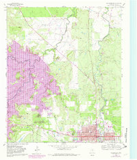
1958 Map of Breckenridge
USGS Topo · Published 1982About this map
Breckenridge serves as the focal point of this North Texas survey, documenting the city's infrastructure and the significant transformation of the surrounding landscape. The western portion of the map is dominated by the sprawling waters of Hubbard Creek Lake, a reservoir that reshaped the valley of Hubbard Creek and Big Sandy Creek. The urban center is detailed with civic landmarks including the Courthouse, Stephens Memorial Hospital, and the Armory, while residential growth is captured through updated streets like Lindsey St and Walker St.
Find a feature on this map
37 named features on this map. Tap any name to fly to it.
Don’t see what you’re looking for? This feature index may not catch every label — zoom into the map to look around manually.
Map Details
Editions of this 1958 Breckenridge Map
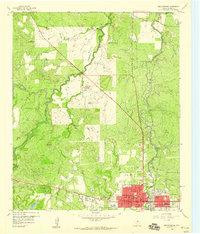
Other maps of this area

1890 · Breckenridge
USGS Topo · 1:125,000

1892 · Albany
USGS Topo · 1:125,000

1893 · Albany
USGS Topo · 1:125,000

1954 · Abilene
USGS Topo · 1:250,000

1958 · Abilene
USGS Topo · 1:250,000

1958 · Breckenridge
USGS Topo · 1:24,000

1958 · Edwards Branch
USGS Topo · 1:24,000

1961 · Buck Mountain
USGS Topo · 1:24,000

1961 · Eolian
USGS Topo · 1:24,000

1965 · Lusk
USGS Topo · 1:24,000