Loading...
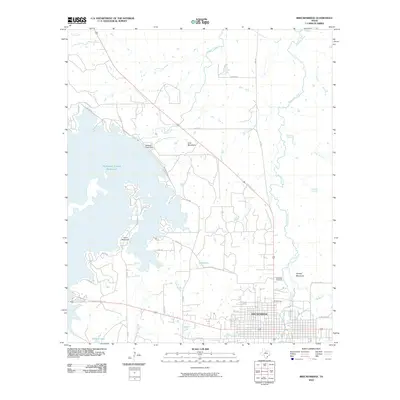
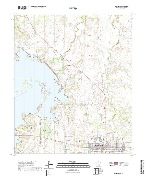
Loading map...1958 Map of Breckenridge
USGS Topo · Published 1959About this map
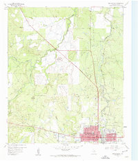
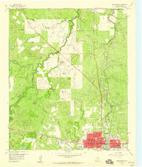
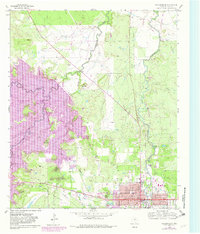
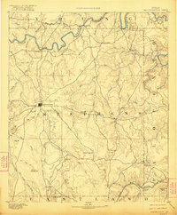
Breckenridge serves as the focal point of this late 1950s survey, showing the town's growth as a county seat and regional hub. The map detail highlights municipal infrastructure including the Courthouse, Stephens Memorial Hosp, and a structured grid of streets like Walker St and Parks Ave. The industrial and transport history of the region is evident through the path of the Chicago Rock Island and Pacific Railroad and an Old Railroad Grade that speaks to shifting shipping patterns.
Find a feature on this map
37 named features on this map. Tap any name to fly to it.
Don’t see what you’re looking for? This feature index may not catch every label — zoom into the map to look around manually.
Map Details
Date Portrayed1958
Date Published1959
PublisherU.S. Geological Survey
Map TypeTopographic
Scale1:24,000
Physical Dimensions23 x 26.9 inches
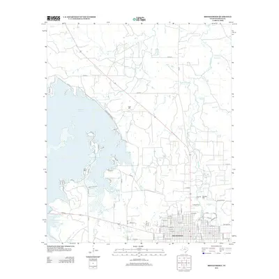
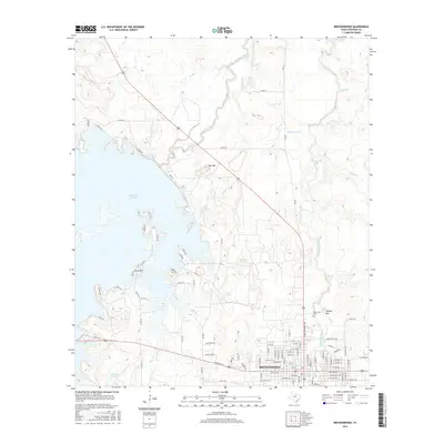
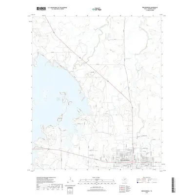
Editions of this 1958 Breckenridge Map
Historical Maps of Breckenridge Through Time
7 maps found
Featured Locations
Source Details
SourceU.S. Geological Survey
CopyrightPublic Domain