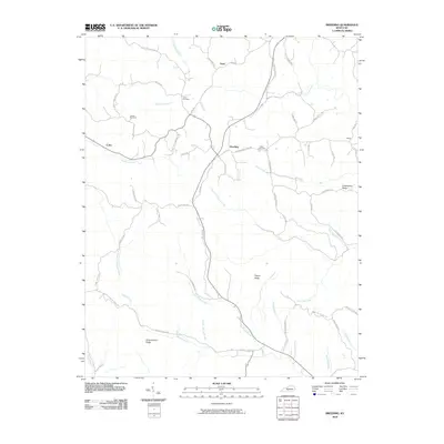
2010 Map of Breeding
USGS Topo · Published 2010About this map
Breeding and its surrounding countryside in Metcalfe County are defined by a dense network of ridges and winding creek beds. This 2010 survey illustrates a rural landscape where life and travel are dictated by the terrain, with roads like Copas Ridge Rd and Jones Ridge Rd following the high ground between watersheds. The map is a valuable resource for genealogists, as it identifies family-named burial sites including Jessee Cemetery, Janes Cemetery, and Fudge Cemetery.
Find a feature on this map
62 named features on this map. Tap any name to fly to it.
Don’t see what you’re looking for? This feature index may not catch every label — zoom into the map to look around manually.
Map Details
Editions of this 2010 Breeding Map
This is the sole edition of this map. No revisions or reprints were ever made.
Other maps of this area

1953 · Gradyville
USGS Topo · 1:24,000

1953 · Breeding
USGS Topo · 1:24,000

1953 · Waterview
USGS Topo · 1:24,000

1953 · Edmonton
USGS Topo · 1:24,000

1953 · Amandaville
USGS Topo · 1:24,000

1953 · Burkesville
USGS Topo · 1:24,000

1953 · Dubre
USGS Topo · 1:24,000

1953 · East Fork
USGS Topo · 1:24,000

1954 · Columbia
USGS Topo · 1:24,000

1956 · Corbin
USGS Topo · 1:250,000